State Wildlife Action Plan ecoregions provide information on each of Oregon’s nine ecoregions, which are geographic areas of the state where ecosystems are generally similar, sharing things like natural communities, species, and climate. Information is provided on the characteristics, conservation issues and priorities, changing climate conditions, limiting factors, recommended approaches, Species of Greatest Conservation Need, and Key Habitats for each ecoregion.
For the inland portion of the state, the State Wildlife Action Plan uses the Environmental Protection Agency’s (EPA) Level III Ecoregions, but combines the Snake River Plain with the Northern Basin and Range. The SWAP designates the Nearshore ecoregion from the outer boundary of Oregon’s Territorial Sea at 3 nautical miles to the supratidal zone affected by wave spray and overwash at extreme high tides on our ocean shoreline, and up into the portions of estuaries where species depend on the saltwater that comes in from the ocean. 
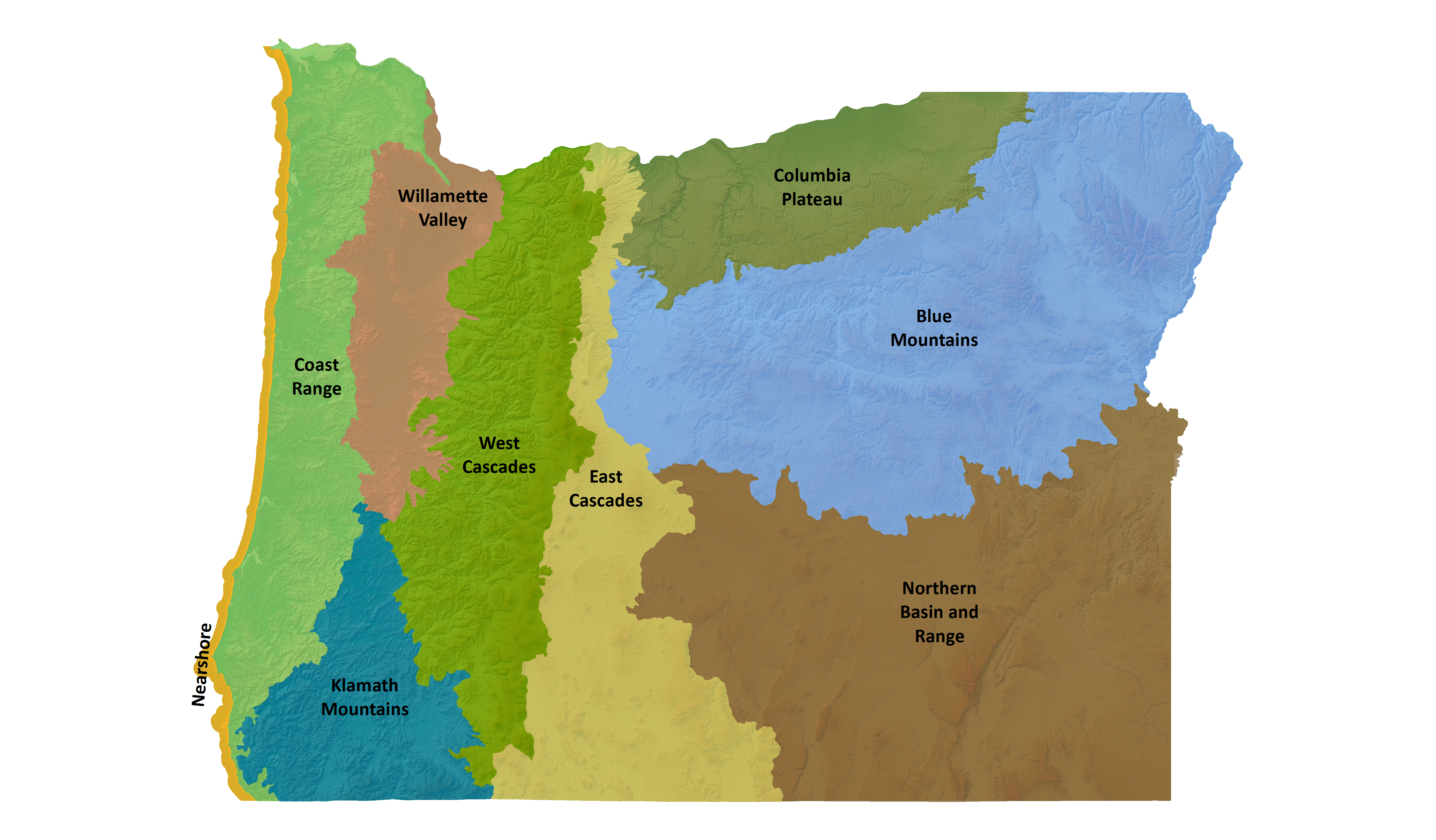
Blue Mountains
Located in NE Oregon, the Blue Mountains ecoregion is the largest ecoregion in the state. It provides a diverse complex of mountain ranges, valleys, and plateaus that extend beyond Oregon into the states of Idaho and Washington.
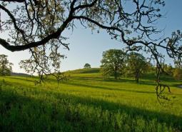
Coast Range
Oregon's Coast Range, known for its dramatic scenery, is extremely diverse, with habitats ranging from open sandy dunes to lush forests and from tidepools to headwater streams. It follows the coastline and extends east through coastal forest to the border of the Willamette Valley and Klamath Mountains ecoregions
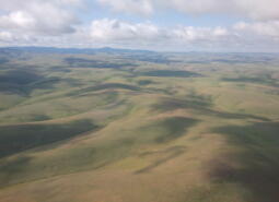
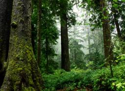
Columbia Plateau
The Columbia Plateau ecoregion was shaped by cataclysmic floods and large deposits of wind-borne silt and sand earlier in its geological history. It is dominated by a rolling landscape of arid lowlands dissected by several important rivers, and extends from the eastern slopes of the Cascades Mountains, south and east from the Columbia River to the Blue Mountains.
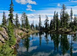
East Cascades
The East Cascade ecoregion extends from the Cascade Mountains' summit east to the warmer, drier high desert and down the length of the state. This ecoregion varies dramatically from its cool, moist border with the West Cascades ecoregion to its dry eastern border, where it meets sagebrush desert landscapes.
Klamath Mountains
The Klamath Mountains ecoregion covers much of southwestern Oregon, including the Klamath Mountains, Siskiyou Mountains, the interior valleys and foothills between these and the Cascade Range, and the Rogue and Umpqua river valleys. Several popular and scenic rivers run through the ecoregion, including the Umpqua, Rogue, Illinois, and Applegate rivers. Historically, this ecoregion is known …
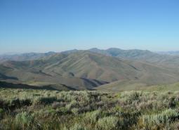
Northern Basin and Range
The Northern Basin and Range ecoregion covers the very large southeastern portion of the state, from Burns south to the Nevada border and from the Christmas Valley east to Idaho. It is largely a high elevation desert-like area dominated by sagebrush communities and habitats.
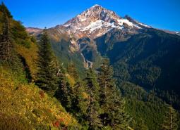
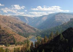
West Cascades
The West Cascades ecoregion extends from east of the Cascade Mountains summit to the foothills of the Willamette, Umpqua, and Rogue Valleys, and spans the entire length of the state of Oregon. It is largely dominated by conifer forests, moving into alpine parklands and dwarf shrubs at higher elevations.
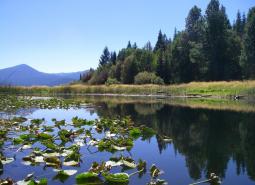
Willamette Valley
The Willamette Valley ecoregion is bounded on the west by the Coast Range and on the east by the Cascade Range. This long mostly level alluvial plain has some scattered areas of low basalt, and contrasts with productive farmland and large urban areas. It has the fastest-growing human population in the state resulting in challenges due to land-use changes.

Nearshore
The Nearshore ecoregion includes a variety of habitats ranging from submerged high-relief rocky reefs to broad expanses of intertidal mudflats in estuaries and hosts a vast array of fish, invertebrates, marine mammals, birds, plants, and micro-organisms. This ecoregion encompasses the area from the outer boundary of Oregon's Territorial Sea to the supra-tidal zone, and up into the estuaries.