HOW TO USE THE SWAP
Oregon’s State Wildlife Action Plan outlines conservation priorities, such as Species of Greatest Conservation Need, Key Habitats, Conservation Opportunity Areas, and Key Conservation Issues, and recommends voluntary actions for conservation in Oregon. These priorities were originally developed using the best scientific information available to ODFW and partners in 2006, were updated in 2016 as part of a 10-year revision, and were updated again in 2026 as part of the next 10-year revision. The SWAP builds on Oregon’s conservation framework and works within existing legal structures, but it is not regulatory.
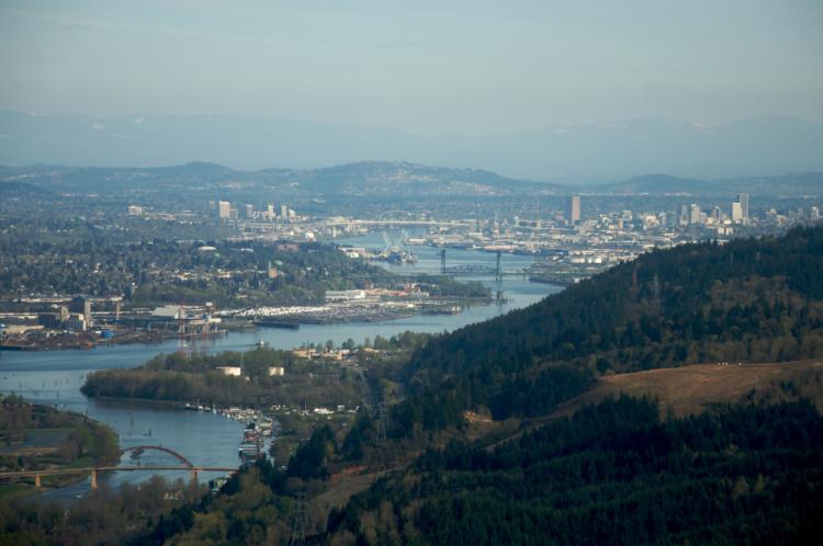
Although Oregon’s fish and wildlife are managed by ODFW, the habitats they depend on are managed by a patchwork of different types of land ownership and uses throughout the state. Conservation outcomes for SGCN, Key Habitats, and COAs depend upon communication of common priorities and shared stewardship from all Oregonians.
INFORMATION FOR COMMUNITIES, LOCAL PLANNERS, OTHER ORGANIZATIONS, AND PRIVATE LANDOWNERS
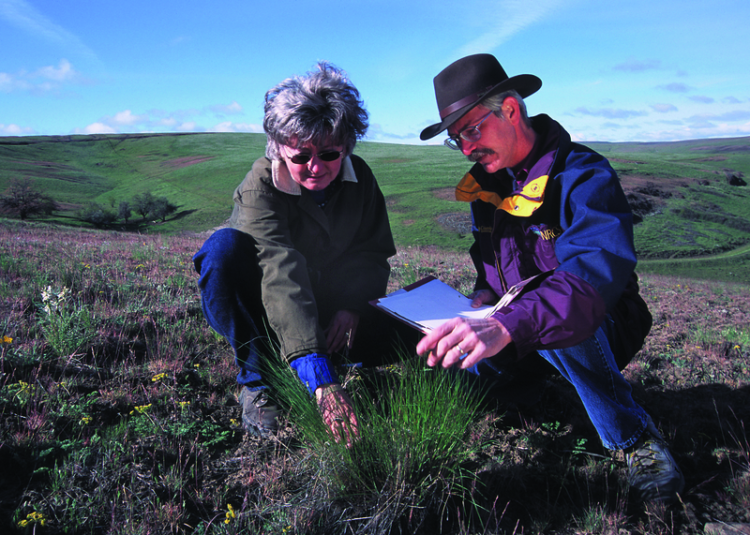
Communities, planners, and other organizations have a crucial role in the stewardship of Oregon’s natural resources. Across Oregon, motivated landowners are removing invasive plants, replacing culverts, restoring wetlands, establishing native plants, and taking large and small actions to enhance habitats for fish and wildlife. Landowners with an urban backyard, a few acres in the foothills of the Cascades, or a large ranch in eastern Oregon can all take action to benefit SGCN and Key Habitats. Suggestions to help community planners, local governments, counties, metropolitan planning organizations, tribes, federal and state agencies, nonprofit organizations, corporate interests, and private landowners are included throughout the SWAP.
- Information to guide conservation and restoration projects can be found in:
- Information to consider when planning land use actions, including areas to avoid for development or areas to consider for mitigation actions, can be found in:
- Land Use Changes Key Conservation Issue
- Maps of fish, wildlife, and habitats available on ODFW Compass
- Voluntary conservation actions to benefit Conservation Opportunity Areas