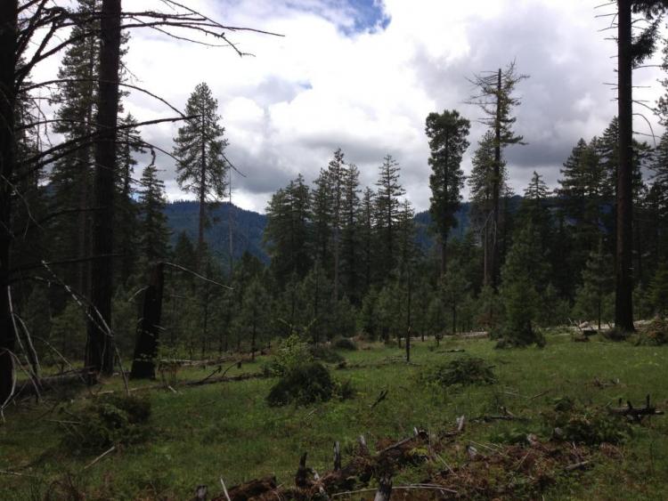
The Middlefork Willamette River Headwaters COA (71 mi2) extends from Hills Creek Reservoir south and east toward Summit Lake and the edge of the Diamond Peak Wilderness. This area includes a significant stretch of the Middle Fork Willamette River, including many of its headwaters streams.
Ecoregions

Key Habitats

Grasslands
Grasslands include a variety of upland grass-dominated habitats, such as upland prairies, coastal bluffs, and montane grasslands.
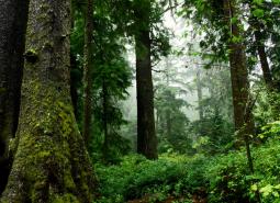
Late Successional Mixed Conifer Forests
Late successional mixed conifer forests provide a multi-layered tree canopy, including large-diameter trees, shade-tolerant tree species in the understory, and a high volume of dead wood, such as snags and logs.

Natural Lakes
Natural lakes are relatively large bodies of freshwater surrounded by land that were formed through geological processes, such as glacial scouring, tectonic movements, volcanic activity and river meander cutoffs. In Oregon, natural lakes are defined as standing water bodies larger than 20 acres, including some seasonal lakes. Depth is not a reference for characterization of …

Flowing Water and Riparian Habitats
Flowing Water and Riparian Habitats include all naturally occurring flowing freshwater streams and rivers throughout Oregon as well as the adjacent riparian habitat.
Species of Greatest Conservation Need
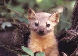
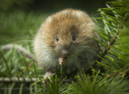
Pacific Marten (Observed)
Martes caurina

American Pika (Observed)
Ochotona princeps
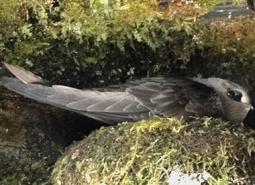
Black Swift (Modeled Habitat)
Cypseloides niger borealis
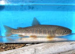
Bull Trout (Documented)
Salvelinus confluentus

California Myotis (Modeled Habitat)
Myotis californicus
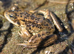
Cascades Frog (Observed)
Rana cascadae

Clouded Salamander (Modeled Habitat)
Aneides ferreus

Coastal Cutthroat Trout (Documented)
Oncorhynchus clarki clarki

Coastal Tailed Frog (Modeled Habitat)
Ascaphus truei
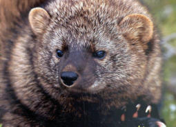
Pacific Fisher (Modeled Habitat)
Pekania pennanti
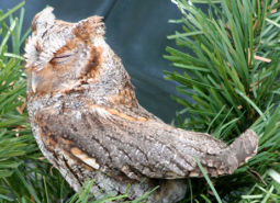
Flammulated Owl (Modeled Habitat)
Psiloscops flammeolus

Fringed Myotis (Modeled Habitat)
Myotis thysanodes
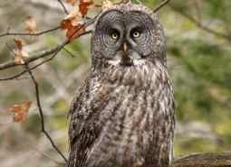
Great Gray Owl (Observed)
Strix nebulosa
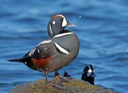
Harlequin Duck (Observed)
Histrionicus histrionicus

Hoary Bat (Modeled Habitat)
Lasiurus cinereus

Long-legged Myotis (Modeled Habitat)
Myotis volans
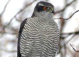
American Goshawk (Observed)
Accipiter atricapillus

Northern Red-legged Frog (Observed)
Rana aurora
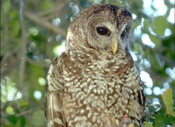
Northern Spotted Owl (Observed)
Strix occidentalis caurina

Olive-sided Flycatcher (Observed)
Contopus cooperi

Western Purple Martin (Modeled Habitat)
Progne subis arboricola
Red Tree Vole (Modeled Habitat)
Arborimus longicaudus

Ringtail (Modeled Habitat)
Bassariscus astutus

Silver-haired Bat (Modeled Habitat)
Lasionycteris noctivagans

Townsend’s Big-eared Bat (Observed)
Corynorhinus townsendii
Townsend’s Big-eared Bat (Observed)
Corynorhinus townsendii

Northwestern Pond Turtle (Observed)
Actinemys marmorata
Northwestern Pond Turtle (Observed)
Actinemys marmorata

Western Toad (Modeled Habitat)
Anaxyrus boreas