Geographic boundaries of the COAs were updated for the 2026 State Wildlife Action Plan and the associated COA profiles are intended to provide additional information. Content of each COA profile is being refined and will be updated to reflect current conditions when feasible. Please help us by submitting information on Local Conservation Actions, Plans, or Potential Partners to: OCS.revision@odfw.oregon.gov.
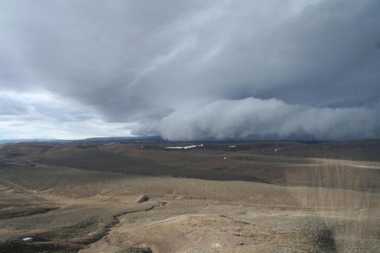
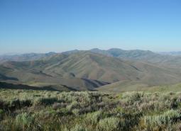
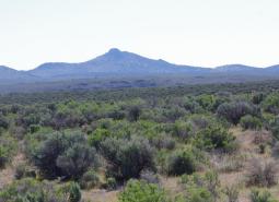
This rugged COA begins in Harney County near the confluence of Crane Creek and the South Fork Malheur River. Moving north east, the COA crosses into Malheur County and wraps around Swamp Creek Buttes. Continuing north towards Juntura, it then follows an eastward line (south of US Highway 20) towards Namorf. Finally, the COA heads south and east ending in the area between Freezeout Mountain and Sourdough Mountain.
Ecoregions
Key Habitats

Natural Lakes
Natural lakes are relatively large bodies of freshwater surrounded by land that were formed through geological processes, such as glacial scouring, tectonic movements, volcanic activity and river meander cutoffs. In Oregon, natural lakes are defined as standing water bodies larger than 20 acres, including some seasonal lakes. Depth is not a reference for characterization of …

Flowing Water and Riparian Habitats
Flowing Water and Riparian Habitats include all naturally occurring flowing freshwater streams and rivers throughout Oregon as well as the adjacent riparian habitat.
Sagebrush Habitats
Sagebrush habitats include all sagebrush steppe- and shrubland-dominated communities found east of the Cascade Mountains.
Species of Greatest Conservation Need
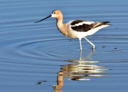
American Avocet (Observed and Modeled)
Recurvirostra americana
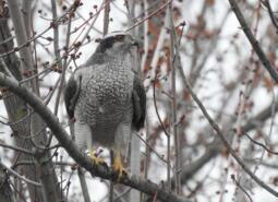
American Goshawk (Modeled)
Astur atricapillus

American Pika (Modeled)
Ochotona princeps
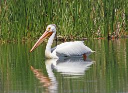
American White Pelican (Observed and Modeled)
Pelecanus erythrorhynchos
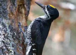
Black-backed Woodpecker (Modeled)
Picoides arcticus
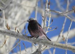
Black Rosy-finch (Modeled)
Leucosticte atrata

Black Tern (Modeled)
Chlidonias niger
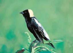
Bobolink (Observed and Modeled)
Dolichonyx oryzivorus
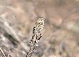
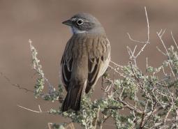
Brewer’s Sparrow (Observed and Modeled)
Spizella breweri breweri

California Myotis (Observed and Modeled)
Myotis californicus
Canyon Bat (Observed and Modeled)
Parastrellus hesperus
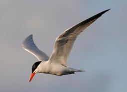
Caspian Tern (Observed)
Hydroprogne caspia
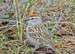
Chipping Sparrow (Observed and Modeled)
Spizella passerina
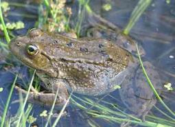
Columbia Spotted Frog (Observed and Modeled)
Rana luteiventris

Common Nighthawk (Observed and Modeled)
Chordeiles minor
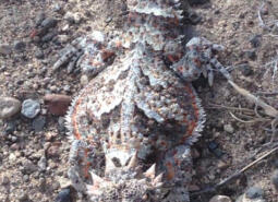
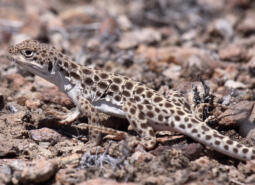
Desert Horned Lizard (Modeled)
Phrynosoma platyrhinos
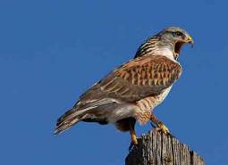
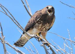
Ferruginous Hawk (Observed and Modeled)
Buteo regalis
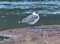
Franklin’s Gull (Observed)
Leucophaeus pipixcan

Fringed Myotis (Modeled)
Myotis thysanodes
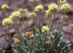
Golden Buckwheat (Observed)
Eriogonum chrysops
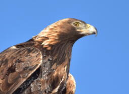
Golden Eagle (Observed and Modeled)
Aquila chrysaetos
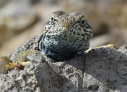
Great Basin Collared Lizard (Observed and Modeled)
Crotaphytus bicinctores
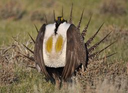
Greater Sage-Grouse (Observed and Modeled)
Centrocercus urophasianus

Hoary Bat (Observed and Modeled)
Lasiurus cinereus
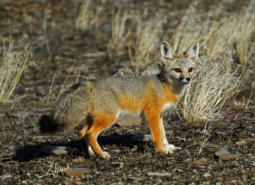
Kit Fox (Modeled)
Vulpes macrotis

Lewis’s Woodpecker (Modeled)
Melanerpes lewis
Little Brown Myotis (Observed and Modeled)
Myotis lucifugus
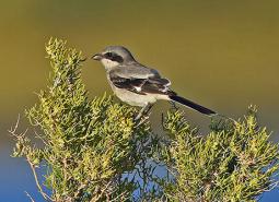
Loggerhead Shrike (Observed and Modeled)
Lanius ludovicianus
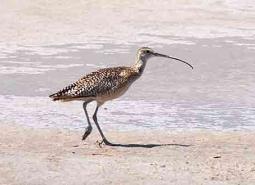
Long-billed Curlew (Observed and Modeled)
Numenius americanus

Long-legged Myotis (Observed and Modeled)
Myotis volans
Long-nosed Leopard Lizard (Observed and Modeled)
Gambelia wislizeni
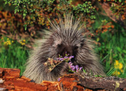
North American Porcupine (Modeled)
Erethizon dorsatum

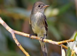
Olive-sided Flycatcher (Modeled)
Contopus cooperi

Pallid Bat (Observed and Modeled)
Antrozous pallidus
Pygmy Rabbit (Observed and Modeled)
Brachylagus idahoensis
Sagebrush Sparrow (Observed)
Artemisiospiza nevadensis
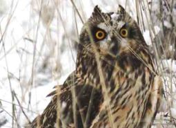
Short-eared Owl (Observed and Modeled)
Asio flammeus flammeus

Silver-haired Bat (Observed and Modeled)
Lasionycteris noctivagans
Spotted Bat (Modeled)
Euderma maculatum
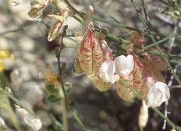
Sterile Milkvetch (Observed)
Astragalus sterilis
Swainson’s Hawk (Observed and Modeled)
Buteo swainsoni

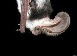
Townsend’s Big-eared Bat (Observed and Modeled)
Corynorhinus townsendii
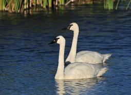
Trumpeter Swan (Observed)
Cygnus buccinator
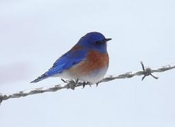
Western Bluebird (Observed and Modeled)
Sialia mexicana occidentalis
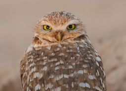
Western Burrowing Owl (Observed and Modeled)
Athene cunicularia hypugaea

Western Grebe (Modeled)
Aechmophorus occidentalis
Western Long-eared Myotis (Observed and Modeled)
Myotis evotis
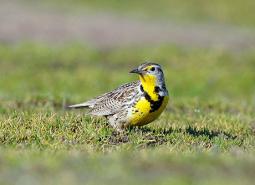
Western Meadowlark (Observed and Modeled)
Sturnella neglecta
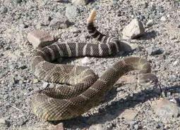
Western Rattlesnake (Observed and Modeled)
Crotalus oreganus oreganus
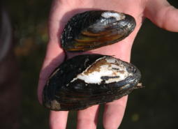
Western Ridged Mussel (Observed)
Gonidea angulata
Western Small-footed Myotis (Observed and Modeled)
Myotis ciliolabrum

Western Toad (Observed and Modeled)
Anaxyrus boreas
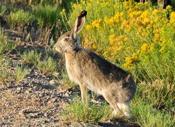
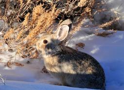
White-tailed Jackrabbit (Modeled)
Lepus townsendii
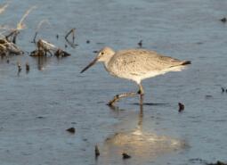
Willet (Modeled)
Tringa semipalmata inornata
Willow Flycatcher (Observed and Modeled)
Empidonax traillii
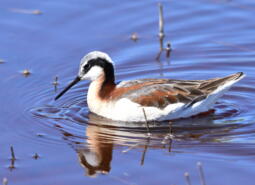
Wilson’s Phalarope (Observed and Modeled)
Phalaropus tricolor
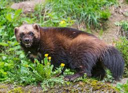
Wolverine (Modeled)
Gulo gulo
Yuma Myotis (Observed and Modeled)
Myotis yumanensis