Geographic boundaries of the COAs were updated for the 2026 State Wildlife Action Plan and the associated COA profiles are intended to provide additional information. Content of each COA profile is being refined and will be updated to reflect current conditions when feasible. Please help us by submitting information on Local Conservation Actions, Plans, or Potential Partners to: OCS.revision@odfw.oregon.gov.
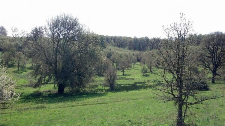
The Basket Butte COA (27 mi2) is located north of Dallas. It is bordered to the south by the Salem-Willamina Highway and the east by Hwy 99W. This area contains upland oak-dominated hills, Basket Slough, Ash Swale, and headwaters of Salt Creek, tributary of South Yamhill River.
Ecoregions
Key Habitats

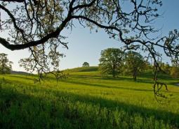
Grasslands
Grasslands include a variety of upland grass-dominated habitats, such as upland prairies, coastal bluffs, and montane grasslands.

Natural Lakes
Natural lakes are relatively large bodies of freshwater surrounded by land that were formed through geological processes, such as glacial scouring, tectonic movements, volcanic activity and river meander cutoffs. In Oregon, natural lakes are defined as standing water bodies larger than 20 acres, including some seasonal lakes. Depth is not a reference for characterization of …
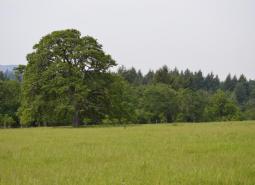
Oak Habitats
There are several oak habitat types in Oregon, where oaks comprise most of the canopy. These can include oak woodlands, oak forest, oak chaparral, and riparian oak. Oak savanna is covered in the Grasslands Key Habitat. Oaks may also co-dominate a canopy in oak/fir, oak pine, and oak hardwood habitats.

Flowing Water and Riparian Habitats
Flowing Water and Riparian Habitats include all naturally occurring flowing freshwater streams and rivers throughout Oregon as well as the adjacent riparian habitat.
Species of Greatest Conservation Need
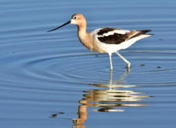
American Avocet (Observed)
Recurvirostra americana
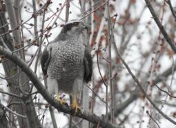
American Goshawk (Observed and Modeled)
Astur atricapillus
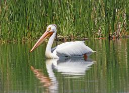
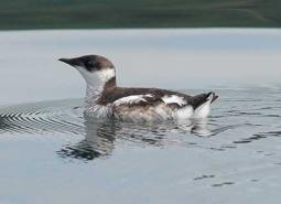
American White Pelican (Observed)
Pelecanus erythrorhynchos
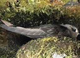
Black Swift (Observed)
Cypseloides niger borealis

Black Tern (Observed and Modeled)
Chlidonias niger
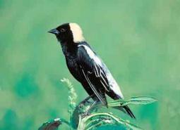
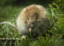
Bobolink (Observed)
Dolichonyx oryzivorus
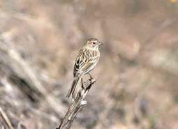
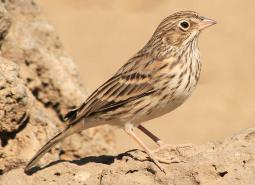
Brewer’s Sparrow (Observed)
Spizella breweri breweri

California Myotis (Modeled)
Myotis californicus
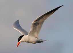
Caspian Tern (Observed)
Hydroprogne caspia
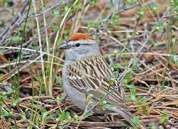
Chipping Sparrow (Observed)
Spizella passerina

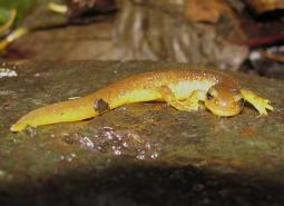
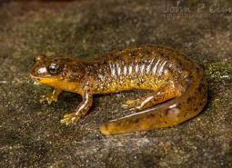
Clouded Salamander (Modeled)
Aneides ferreus

Coastal Cutthroat Trout (Modeled)
Oncorhynchus clarki clarki

Coastal Tailed Frog (Modeled)
Ascaphus truei
Columbia Torrent Salamander (Modeled)
Rhyacotriton kezeri

Common Nighthawk (Observed and Modeled)
Chordeiles minor
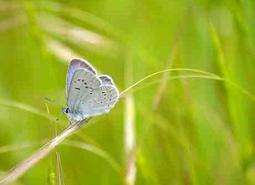
Fender’s Blue Butterfly (Observed)
Icaricia icarioides fenderi
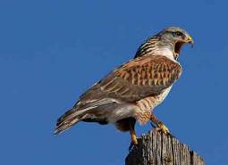
Ferruginous Hawk (Observed)
Buteo regalis
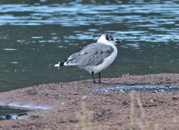
Franklin’s Gull (Observed)
Leucophaeus pipixcan

Fringed Myotis (Modeled)
Myotis thysanodes
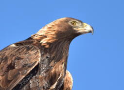
Golden Eagle (Observed)
Aquila chrysaetos
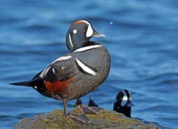
Harlequin Duck (Observed)
Histrionicus histrionicus

Hoary Bat (Modeled)
Lasiurus cinereus
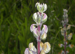
Kincaid’s Lupine (Observed)
Lupinus oreganus

Lewis’s Woodpecker (Modeled)
Melanerpes lewis
Little Brown Myotis (Modeled)
Myotis lucifugus
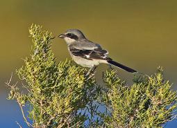
Loggerhead Shrike (Observed)
Lanius ludovicianus
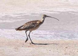
Long-billed Curlew (Observed)
Numenius americanus

Long-legged Myotis (Modeled)
Myotis volans
Marbled Murrelet (Modeled)
Brachyramphus marmoratus
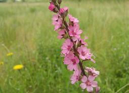
Nelson’s Checkermallow (Observed)
Sidalcea nelsoniana

Northern Red-legged Frog (Observed and Modeled)
Rana aurora
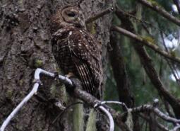
Northern Spotted Owl (Modeled)
Strix occidentalis caurina

Northwestern Pond Turtle (Observed and Modeled)
Actinemys marmorata

Olive-sided Flycatcher (Observed and Modeled)
Contopus cooperi
Oregon Floater Mussel (Observed)
Anodonta oregonensis
Oregon Vesper Sparrow (Observed and Modeled)
Pooecetes gramineus affinis

Pallid Bat (Modeled)
Antrozous pallidus
Red Tree Vole (Modeled)
Arborimus longicaudus
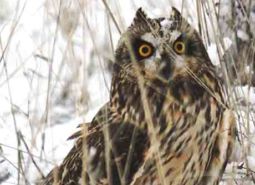
Short-eared Owl (Observed and Modeled)
Asio flammeus flammeus

Silver-haired Bat (Modeled)
Lasionycteris noctivagans
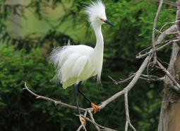
Snowy Egret (Observed)
Egretta thula brewsteri
Southern Torrent Salamander (Modeled)
Rhyacotriton variegatus
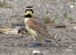
Streaked Horned Lark (Observed)
Eremophila alpestris strigata

Townsend’s Big-eared Bat (Modeled)
Corynorhinus townsendii
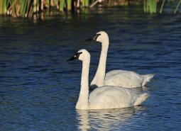
Trumpeter Swan (Observed and Modeled)
Cygnus buccinator
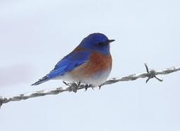
Western Bluebird (Observed and Modeled)
Sialia mexicana occidentalis
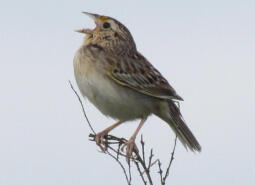
Western Grasshopper Sparrow (Observed)
Ammodramus savannarum perpallidus
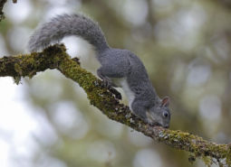
Western Gray Squirrel (Modeled)
Sciurus griseus

Western Grebe (Observed and Modeled)
Aechmophorus occidentalis
Western Long-eared Myotis (Modeled)
Myotis evotis
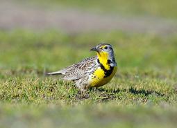
Western Meadowlark (Observed and Modeled)
Sturnella neglecta

Western Painted Turtle (Modeled)
Chrysemys picta belli

Western Purple Martin (Modeled)
Progne subis arboricola
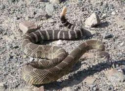
Western Rattlesnake (Modeled)
Crotalus oreganus oreganus
Western Small-footed Myotis (Modeled)
Myotis ciliolabrum
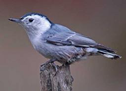
White-breasted Nuthatch (Pacific) (Modeled)
Sitta carolinensis aculeata

Willamette Daisy (Observed)
Erigeron decumbens
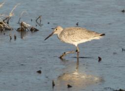
Willet (Observed)
Tringa semipalmata inornata
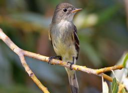
Willow Flycatcher (Observed and Modeled)
Empidonax traillii
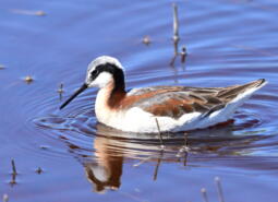
Wilson’s Phalarope (Observed and Modeled)
Phalaropus tricolor
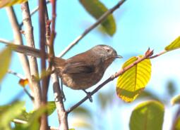
Wrentit (Observed and Modeled)
Chamaea fasciata
Yuma Myotis (Modeled)
Myotis yumanensis